 Oil & gas UC-01
 Pipeline corridor documentation after heavy rainfall
Situation
A remote pipeline corridor needed condition evidence after sustained rainfall damaged access tracks.
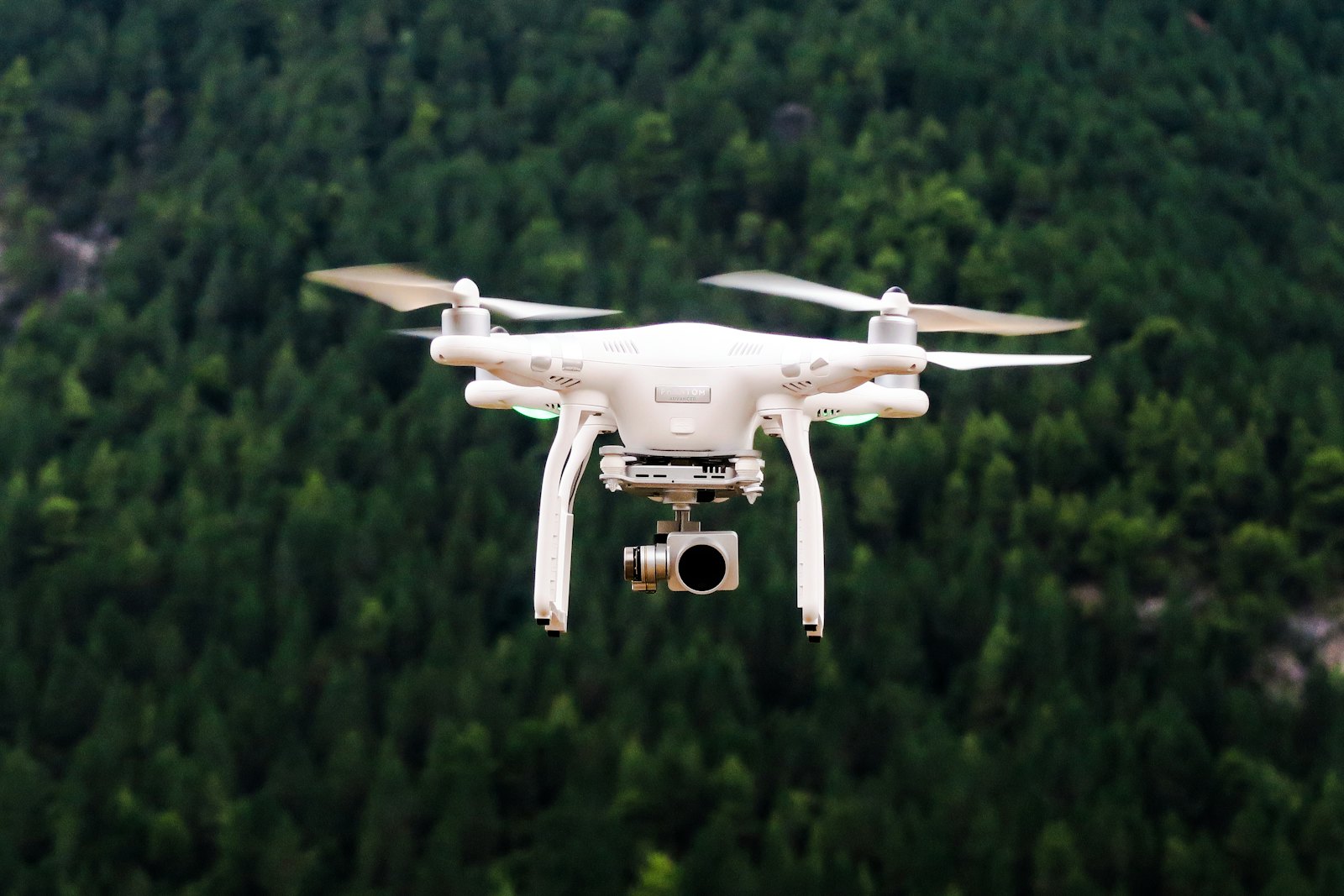
Drone mapping approach
A planned corridor flight captured a continuous orthomosaic and geo-tagged imagery of access tracks, ground disturbance, and drainage.
Deliverables
- Corridor orthomosaic (GeoTIFF and KML)
- Geo-tagged inspection imagery by chainage
- Annotated issue location summary
Operational value
Operations and engineering had a shared record within 48 hours, with follow-up scoped to specific locations rather than the full alignment.