Skip to content
Drone mapping · Aerial inspection · Geospatial intelligence

Decision-ready asset data for critical infrastructure.

Drone mapping and aerial inspection for pipelines, substations, utilities, transmission corridors, and industrial sites. Safer field visibility, repeatable inspection records, and GIS-ready deliverables your engineering and operations teams can actually use.

Operating capability

  • Licensed drone operations
  • GIS-ready deliverables
  • Repeatable asset monitoring
  • Safer field visibility
  • Infrastructure-focused reporting
  • Site-safety integrated workflows
Aerial view of a transmission corridor with overlaid inspection markers and coordinate labels
N 34°22'01" E 138°16'47" Tile 014-B ZOOM 19
Asset / segment LIVE

PL-04 · Corridor segment

Right-of-way · 2.4 km · 1.8 cm/px

Sector coverage ·
Oil & gas Water utilities Electrical substations Transmission corridors Civil infrastructure Industrial sites Renewables
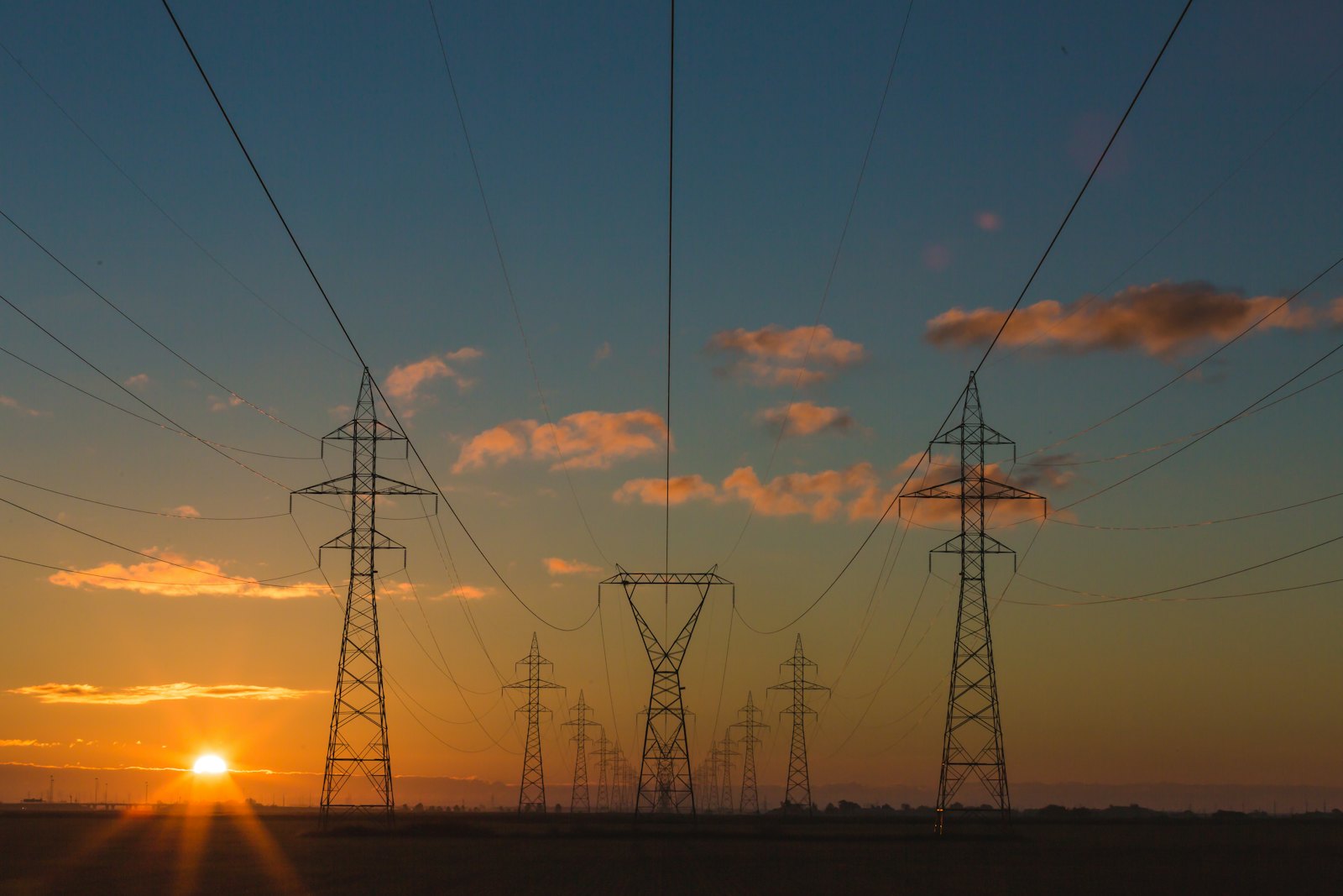
The inspection challenge

Critical assets are hard to inspect, but poor visibility is expensive.

Infrastructure operators need reliable field data across assets that are remote, hazardous, or operationally sensitive. Manual inspection can be slow, inconsistent, or expose personnel to unnecessary risk — and the gap between visits is where surprises tend to develop.

Remote or hard-to-access corridors
Safety risks from manual inspection in operational environments
Inconsistent visual records between visits
Limited visibility into change over time
Documentation that is hard to share with engineering and operations
Delayed condition awareness after weather events or incidents
Asset data trapped in unstructured photographs

Field principle

The value is not the drone flight. The value is the decision-ready record of the asset.

Every project is scoped against the decision it supports — maintenance planning, compliance evidence, change comparison, or engineering input. If the data does not land somewhere a team uses, the flight has not done its job.

Capture

Structured

Process

QC'd

Deliver

Usable

Services

A focused service matrix for infrastructure teams.

Six service modules built around what asset owners actually request — and what the data needs to do downstream.

Review all services
01

Drone Mapping & Orthomosaics

Geo-referenced site and corridor mapping for engineering, operations, and asset documentation. The base layer most other deliverables build on.

Typical deliverables

  • Orthomosaic (GeoTIFF)
  • Geo-referenced imagery
  • PDF map outputs
  • GIS-ready files
02

Pipeline Corridor Surveys

Continuous corridor capture across pipeline easements and rights-of-way. Encroachment, vegetation, erosion, and access track evidence in one pass.

Typical deliverables

  • Corridor orthomosaic
  • Geo-tagged inspection imagery
  • Issue location summary
  • Change documentation
03

Utility & Substation Inspection

Visual condition imagery from planned offsets across substations, yards, and access-constrained utility assets. Coordinated with site safety systems.

Typical deliverables

  • Inspection image set
  • Annotated visual report
  • Layout and perimeter context
  • Maintenance planning visuals
04

Thermal & Condition Inspection

Screening-grade thermal imagery for energised electrical assets, solar PV, and industrial process equipment. Paired with visible-light context.

Typical deliverables

  • Thermal + visible image pairs
  • Screening anomaly report
  • Conditions log
  • Follow-up recommendations
05

3D Models & DSM Data

Photogrammetry-derived 3D models, digital surface models, and point clouds for site visualisation, terrain context, and engineering planning support.

Typical deliverables

  • 3D model
  • Digital surface model
  • Point cloud (LAS/LAZ)
  • Model screenshots
06

Progress, Change & Compliance Monitoring

Repeatable, comparable aerial flights for capital works, maintenance programs, environmental obligations, and post-event documentation.

Typical deliverables

  • Repeat orthomosaics
  • Before / after comparisons
  • Change summaries
  • Stakeholder-ready reports
Sectors

Built for the sectors that depend on operational visibility.

Every sector has its own access constraints, safety requirements, and deliverable expectations. The tabs below show what mapping and inspection typically look like across each.

Oil & Gas Pipelines Oil & Gas Pipelines In coverage

Common inspection needs

  • Corridor and right-of-way visibility
  • Encroachment monitoring
  • Erosion and washout documentation
  • Post-event condition imagery

Mapping use cases

  • Continuous corridor orthomosaic capture
  • Vegetation and access track assessment
  • Pre-maintenance planning visuals
  • Compliance and reporting evidence

Typical deliverables

  • Corridor orthomosaics
  • Geo-tagged inspection imagery
  • Annotated issue reports
  • Change summaries between flights

Operational considerations

  • Coordination with operations and field personnel
  • Land access and stakeholder notification
  • Airspace and operational restrictions
Use cases

A few representative project shapes.

Illustrative — the actual scope, deliverables, and timing on any project depend on the asset, site conditions, and what your team needs the data to support.

Oil & gas UC-01

Pipeline corridor condition documentation

Situation

An operator with a remote pipeline corridor needed condition evidence after a period of heavy rainfall affected the easement and access tracks.

Drone mapping approach

A planned corridor flight produced a continuous orthomosaic and a structured set of geo-tagged inspection images, focused on access track condition and visible ground disturbance.

Deliverables

  • Corridor orthomosaic
  • Geo-tagged inspection imagery
  • Annotated issue summary

Operational value

Maintenance and operations had a shared, dated record of the corridor in hours rather than days, with clear locations for follow-up ground inspection.

Utilities UC-02

Substation inspection support

Situation

A utility needed visual condition imagery across a substation site ahead of a planned maintenance shutdown, without entering live electrical zones.

Drone mapping approach

A coordinated flight at agreed offsets produced structured inspection imagery of gantry steelwork, perimeter, and asset top-side fittings.

Deliverables

  • Inspection image set
  • Site orthomosaic
  • Annotated visual report

Operational value

The maintenance team walked into the shutdown with a current visual record of the assets and a shortlist of items to look at first.

Water UC-03

Easement encroachment review

Situation

A water utility needed dated evidence of encroachment activity along a buried main, across multiple landholdings.

Drone mapping approach

A corridor flight captured a high-resolution orthomosaic and geo-tagged imagery of identified activity, with a structured location-referenced summary.

Deliverables

  • Corridor orthomosaic
  • Geo-tagged imagery of identified activity
  • Location-referenced summary

Operational value

The utility had a defensible visual record of the easement and a clear basis for the next conversation with each landholder.

Talk to us

Get a clearer view of your assets without sending teams into unnecessary risk.

Tell us about the asset, the access constraints, and the deliverables your team needs. We will respond with a scope, an indicative plan, and a clear next step.