Sectors
Drone mapping for infrastructure that cannot afford poor visibility.
Every sector has its own access conditions, safety expectations, and reporting requirements. The panels below summarise where mapping and inspection typically fit across each — and what asset owners ask for most often.
 Oil & Gas Pipelines
Sector · 01 / 06
Oil & Gas Pipelines
Sector · 01 / 06 Oil & Gas Pipelines
Continuous corridor visibility for pipeline operators — easements, access tracks, right-of-way encroachment, and post-event condition.
Common challenges
- Long, remote corridors crossing variable terrain
- Inconsistent visual records between visits
- Encroachment and unauthorised activity within the easement
- Erosion, washout, and ground disturbance after weather events
- Slow situational awareness across distributed assets
Mapping applications
- Corridor surveys and right-of-way mapping
- Encroachment and activity documentation
- Erosion and access track condition reviews
- Post-weather event inspection
- Pre-maintenance planning visuals
Typical outputs
- Corridor orthomosaic with location references
- Geo-tagged inspection imagery by segment
- Annotated issue location summary
- Change documentation against prior baseline
- Stakeholder-ready reporting pack
 Water Pipelines & Utilities
Sector · 02 / 06
Water Pipelines & Utilities
Sector · 02 / 06 Water Pipelines & Utilities
Asset visibility for water utilities — buried alignments, easements, civil works, and the surface conditions around them.
Common challenges
- Easements distributed across multiple landholdings
- Limited surface visibility of buried alignment
- Encroachment and unauthorised use of the easement
- Civil works coordination across long timelines
- Vegetation and access route deterioration
Mapping applications
- Easement mapping and documentation
- Leak site surface context where visible
- Access route and gate condition documentation
- Vegetation and encroachment monitoring
- Civil works progress and asset location capture
Typical outputs
- Easement orthomosaic
- Geo-tagged imagery of identified issues
- Location-referenced summary report
- GIS-ready file outputs
- Repeat monitoring records
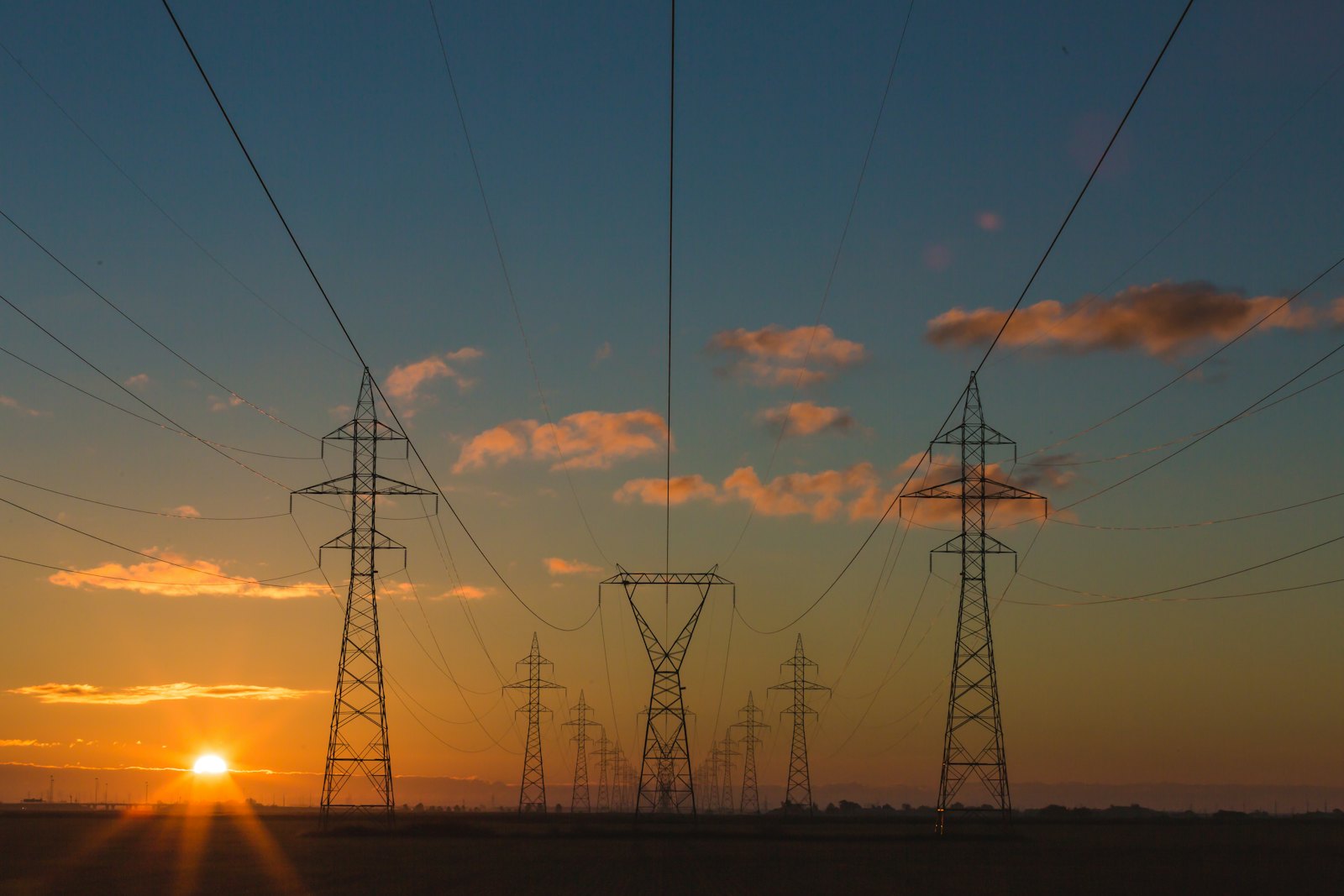
 Electrical Substations
Sector · 03 / 06
Electrical Substations
Sector · 03 / 06 Electrical Substations
Visual condition evidence from safe offsets across substation sites — coordinated with the asset owner's safety system.
Common challenges
- Restricted ground access in live electrical environments
- Elevated assets difficult to inspect without lifts or outages
- Vegetation creep into clearance zones
- Maintenance planning ahead of scheduled shutdowns
- Thermal screening of energised equipment under load
Mapping applications
- Visual inspection support from agreed offsets
- Perimeter and clearance condition documentation
- Site layout and asset position references
- Thermal screening of energised assets where appropriate
- Pre-shutdown planning visuals
Typical outputs
- Structured inspection image set with asset references
- Annotated visual report
- Site orthomosaic where in scope
- Optional paired thermal + visible imagery
- Maintenance planning visuals
 Transmission & Distribution Corridors
Sector · 04 / 06
Transmission & Distribution Corridors
Sector · 04 / 06 Transmission & Distribution Corridors
Mapping and inspection across pole, span, and corridor assets — including post-event response and clearance documentation.
Common challenges
- Long corridors with distributed assets
- Vegetation proximity to conductors and clearance zones
- Access track and easement deterioration
- Rapid situational awareness needed after storm events
- Change between scheduled inspections
Mapping applications
- Corridor mapping at consistent resolution
- Vegetation proximity and clearance documentation
- Pole, tower, and span visual context
- Storm and event response imagery
- Change detection between flights
Typical outputs
- Corridor orthomosaic
- Pole and span reference imagery
- Annotated vegetation and clearance evidence
- Comparative change summaries
- Post-event visual record
 Civil Infrastructure
Sector · 05 / 06
Civil Infrastructure
Sector · 05 / 06 Civil Infrastructure
Progress documentation and asset records for road, bridge, drainage, and civil works projects.
Common challenges
- Active sites with multiple contractors
- Recurring progress reporting requirements
- Asset records that need to be defensible and dated
- Pre-work and post-work comparison evidence
- Stakeholder communication across project phases
Mapping applications
- Road, bridge, drainage, and civil works documentation
- Monthly construction progress mapping
- Asset condition and as-built records
- Contractor reporting visuals
- Pre-work and post-work comparison
Typical outputs
- Repeat orthomosaics at agreed cadence
- Progress reports against the prior baseline
- Annotated before / after comparisons
- Stakeholder-ready visual packs
- GIS- or CAD-ready outputs where required
 Renewables & Industrial Sites
Sector · 06 / 06
Renewables & Industrial Sites
Sector · 06 / 06 Renewables & Industrial Sites
Mapping, inspection, and thermal screening across solar, wind, and industrial sites where access is constrained and operations matter.
Common challenges
- Large solar arrays with thousands of panels
- Industrial sites with limited safe ground access
- Stockpile and surface conditions changing over time
- Thermal screening requires meaningful operating load
- Coordination with operating teams to avoid disruption
Mapping applications
- Solar PV thermal and visual screening
- Wind and industrial site visual context
- Stockpile, surface, and earthworks documentation
- Site access and security context
- Progress and change monitoring
Typical outputs
- Paired thermal and visible image sets
- Site orthomosaic
- Anomaly screening report
- Comparative change records
- Stakeholder-ready outputs
Talk to us
Match our services to the assets your team is responsible for.
We will scope a project against the access conditions, safety requirements, and deliverables that matter for your sector.